LandMan
LandMan is the offline-first station-management app for the people doing the work. Map your paddocks, move your mobs, keep the crew safe, and log what you sprayed — all on your phone, all in the paddock.
One map, one team, one source of truth. Nothing to install on a desktop. Nothing to set up the night before muster.
Draw paddocks, fences, gates, weed patches, water issues and burn areas straight on the map. New corners snap to your existing fencelines — no overlap, no parallel lines.
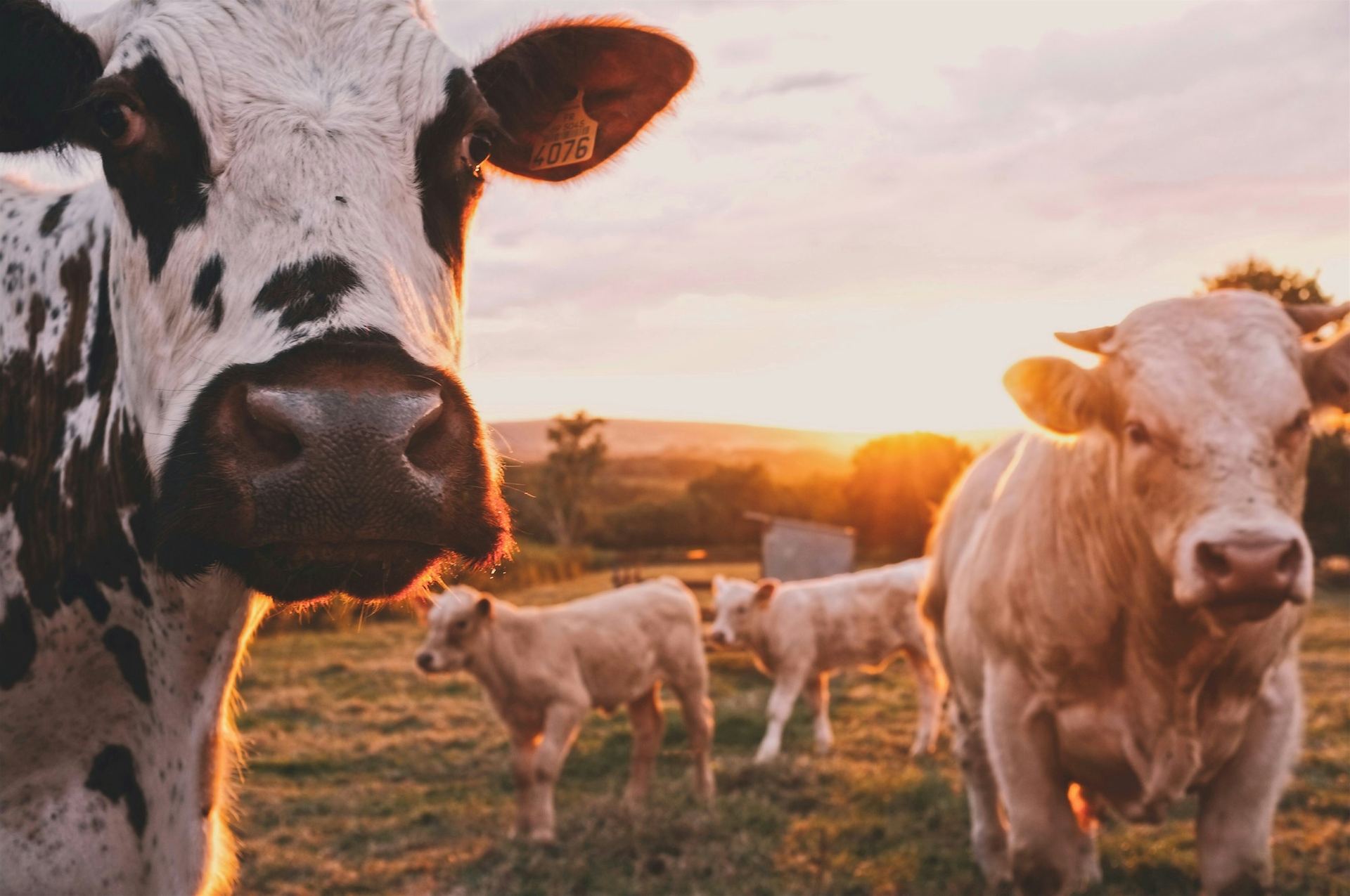
Track mobs at the paddock level or individual beasts with NLIS tags. Long-press a mob, drag it into another paddock — done. Movement history is logged automatically.
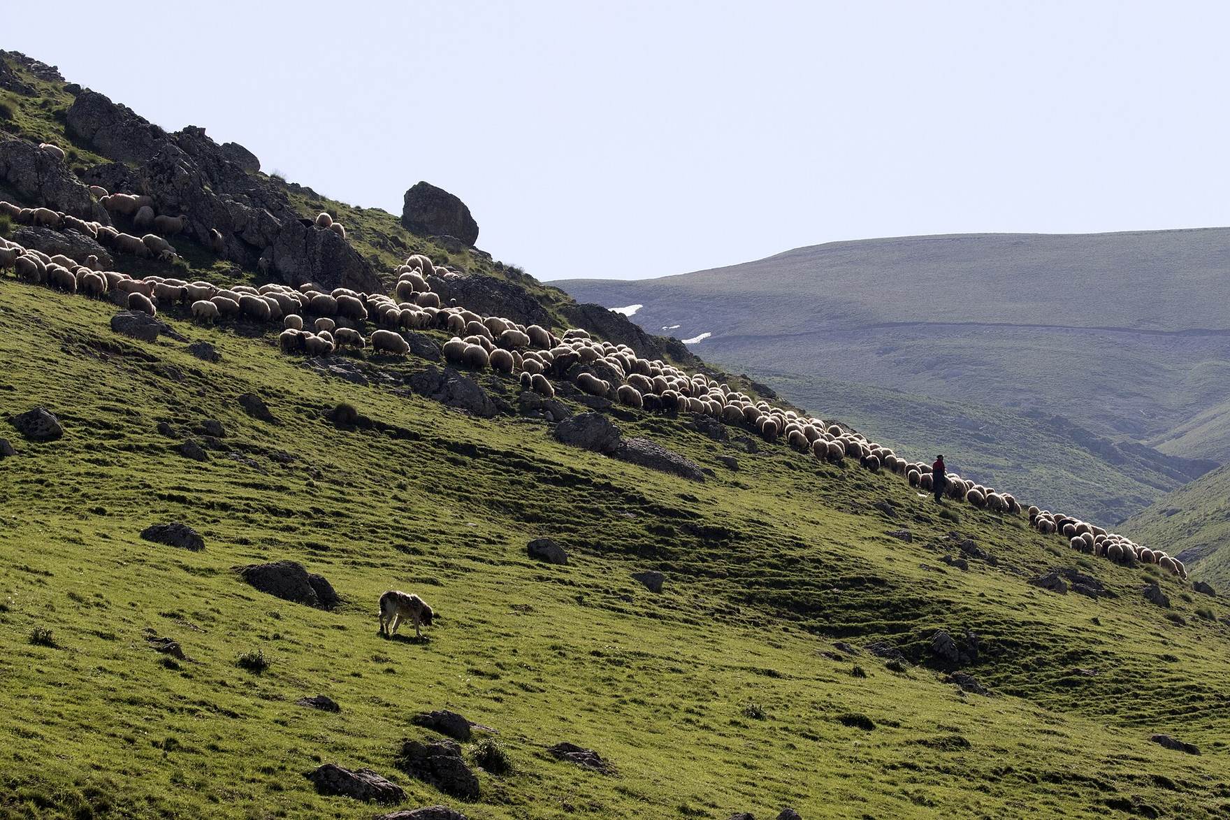
Same paddock map, every species. Log flocks, classes, breeds, plantings and harvest dates. Stocking density per paddock in head/ha or head/acre.
"I'm OK" check-ins, stationary alerts, panic button. Per-worker visibility rules so the contractors don't see the boss's location and vice versa.
Tap a weed patch, log the spray date, product, rate and applicator. There's the audit trail next season — and the season after that.
Track engine hours on every ute, tractor and pump. Service-due reminders before something fails in the back paddock.
Rainfall readings logged by gauge, plunge-dip batches with chemical history, water tanks, troughs, bores — all on the map.
Live QLD VMA categories (A, B, C, R, X), Essential Habitat and Protected Plants — straight on your map. Upload your own PMAV GeoJSON too.
A private feed for the crew. Sunset photos, weather heads-ups, "watch out for a brown snake near the cattle yards" — keep the team in the loop without group texts.
Draw a paddock by tapping corners. Reshape it later by dragging vertices. New fencelines snap to shared corners with neighbouring paddocks, so the map stays clean instead of drifting into parallel-line spaghetti.
Long-press a mob's chip on the map, drag it into the new paddock and drop. LandMan logs the movement — who moved them, when, from where to where, and how many head. No spreadsheet, no notebook, no "did anyone write it down?"
Workers opt in to tracking during their shift. They get periodic "I'm OK" prompts; if they don't reply or the phone hasn't moved for too long, the right people get an alert. Off-shift, the location stops. It's the kind of thing the WHS auditor's been asking about — without feeling like Big Brother.
I wanted what every grazier wants — to walk out of the homestead, get in the ute and have one app that already knows what's where. So I built it.
All prices are in AUD and include GST. Cancel any time — your data exports as GeoJSON and CSV.
For owner-operators running it solo.
For working stations with a crew.
For large single-station operations.
Multi-station and corporate ag.
30-day free trial on Single Hand & Station. No credit card to start — join the waitlist and we'll get you onto TestFlight as soon as a slot opens.
Yes. LandMan is offline-first — maps cache to your phone, mob movements and treatment logs queue locally and sync when you're back in range. Built for the back paddock, not the boardroom.
iPhone (TestFlight today, App Store soon) and Android via Google Play. Same data syncs between phones and across crew members.
Yes — GeoJSON, KML or shapefiles. Email us and we'll help you bring across your current paddock map so you're not redrawing anything.
Track NLIS and visual ear tags at the mob level (range or PIC) or per beast. Bulk CSV import is supported. NLIS reporting integration is on the roadmap.
You do. Always. Export everything as GeoJSON, CSV or JSON any time. We store it securely in Supabase (Sydney region — your data stays in Australia).
A paid add-on for AU certified-organic beef producers is in development — supports the record-keeping required by ACO, NASAA and AUS-QUAL audits. Email us if you'd like early access.
Tracking is opt-in per worker and only active during a logged shift. Each worker controls who can see their location (specific people or roles). Off-shift, location stops being recorded.
Send a quick email — tell us what you run, how many head, where you are. We'll get you set up on TestFlight and walk you through it.